The Sky Is the Itinerary: Reading Andean Weather Without a Signal
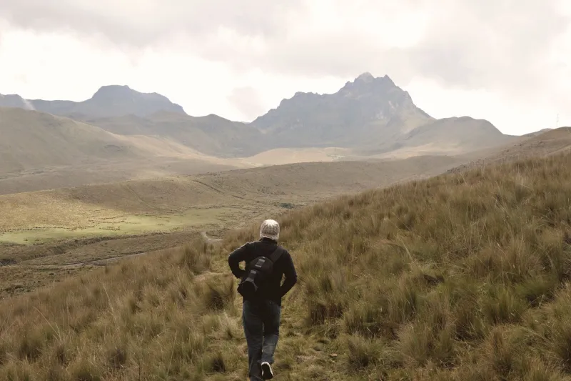
An Andean forecast can be a work of fiction. The app says sun, the valley says sun, and then by eleven the ridge is wearing a gray hat and the first hail is ticking off your rain shell. This is not a reason to stay in bed. It is a reason to learn the sky.
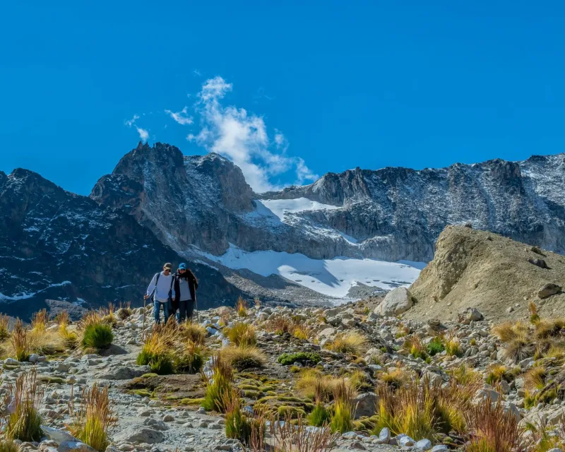
For independent hikers, reading weather is less about memorizing meteorology and more about building a habit: look up, look around, and give yourself permission to change the plan. In the Andes, the sky is not background. It is the itinerary.
Why the Forecast Is Only a Suggestion
Mountain weather is local. A forecast for a town at 3,000 meters may have little to say about a pass at 4,500 meters, one valley over. Clouds form, break, and reform across ridgelines within an hour. That does not make forecasts useless. They are useful for the big picture — a front, a wet spell, a cold snap. But they are a starting point, not a script.
Treat the forecast as background noise and the sky as live information. That shift alone makes you a better traveler.
Morning: What the First Clouds Tell You
Start with the dawn. A clear, cold morning is not a guarantee, but it is a good sign. Watch where the first clouds appear. Small, fair-weather cumulus that stay flat and sparse are usually harmless. Cumulus that start building vertically before midmorning are a different message. They are convection, and convection is the engine of afternoon storms.
If you see towers growing over the ridge you plan to cross, move early or choose a lower route. If the peaks wear smooth lenticular caps — clouds that look like flying saucers — expect wind. Local farmers and arrieros have a saying for this: when the mountain puts on its hat, rain is on the way. It is not a scientific formula, but it is a useful prompt to pay attention.
The Afternoon Storm Clock
In many Andean regions, especially during the wet season, the pattern is predictable enough to plan around. Morning heating builds clouds. Clouds build into towers. Towers turn dark, drop rain or hail, and sometimes throw lightning. By late afternoon, the cycle often eases.
That means exposed passes and ridgelines are morning work. Aim to be over the high point and heading down by early afternoon. If you hear thunder, you are already late. Descend. Avoid lone trees, open ridges, and water. Do not wait to see if it passes. Lightning does not care about your itinerary.
Wind, Temperature, and the Feeling of Change
Wind is the sky’s early warning system. A sudden gust, a shift in direction, or a cold downdraft can signal a storm nearby. If the temperature drops fast and the wind picks up while clouds darken, do not debate it. Put on your shell, check your route, and move toward shelter or lower ground.
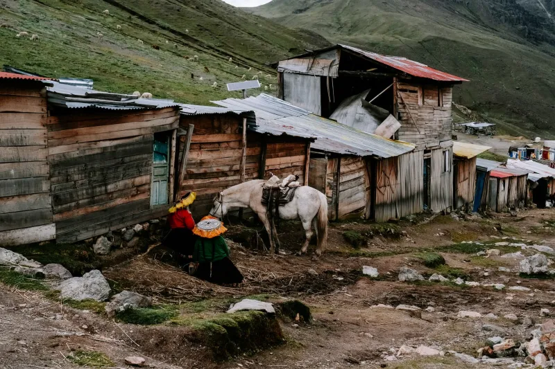
Arrieros often read these signs before hikers do. They watch the direction of the wind, the way clouds sit on a peak, and how fast the air changes. You can learn from them by asking. A simple question — '¿Va a llover?' — can start a useful conversation. Listen to the answer, then look at the sky yourself.
Local Sayings as Observation Tools
Andean weather sayings are not magic. They are compressed observations passed down through people who work outside. 'When the mountain puts on its hat, rain is certain' is a memorable way to notice cloud caps. Other sayings track wind, birds, or the behavior of animals. Some will fit the day. Some will not.
Use them as prompts, not prophecies. The value is in the looking. A farmer who has worked the same slope for decades may know its moods better than any app. That knowledge is worth respecting, and it is often shared freely if you ask without treating it as entertainment.
Build a Sky-First Trail Plan
A sky-first plan has margins. Start early. Pick a route with escape options, not just a summit. Set a turnaround time before you leave camp or the trailhead, and write it down. Carry a rain shell, a warm layer, a hat, and a headlamp even if the morning is blue. Weather is not the only reason to turn around, but it is one of the best.
Before you commit to a high pass, ask yourself three questions. Are clouds building earlier than expected? Is the wind increasing? Is the temperature dropping? If the answer to two of those is yes, choose the lower trail. The view from a valley is still a view.
When to Turn Back
Turn back when the sky stops being interesting and starts being a warning. An anvil-shaped cloud over your route is a warning. Hail on an exposed ridge is a warning. A sudden cold wind with dark clouds behind it is a warning. You do not need to be a meteorologist to act on those cues.
The hardest part is ego. A summit feels earned. A turnaround feels like a failure. It is not. In the Andes, the hiker who comes back is the one who has a story. The mountain will still be there.
The Sky as Co-Pilot
You will not always get it right. No one does. But learning to read the sky gives you something a phone cannot: a relationship with the day. You notice the first cloud, the first gust, the first drop in temperature. You plan around what is actually happening, not what a screen promised.
That is the quiet freedom of independent travel in the high mountains. The sky is not an obstacle between you and the trail. It is the most reliable itinerary you have.